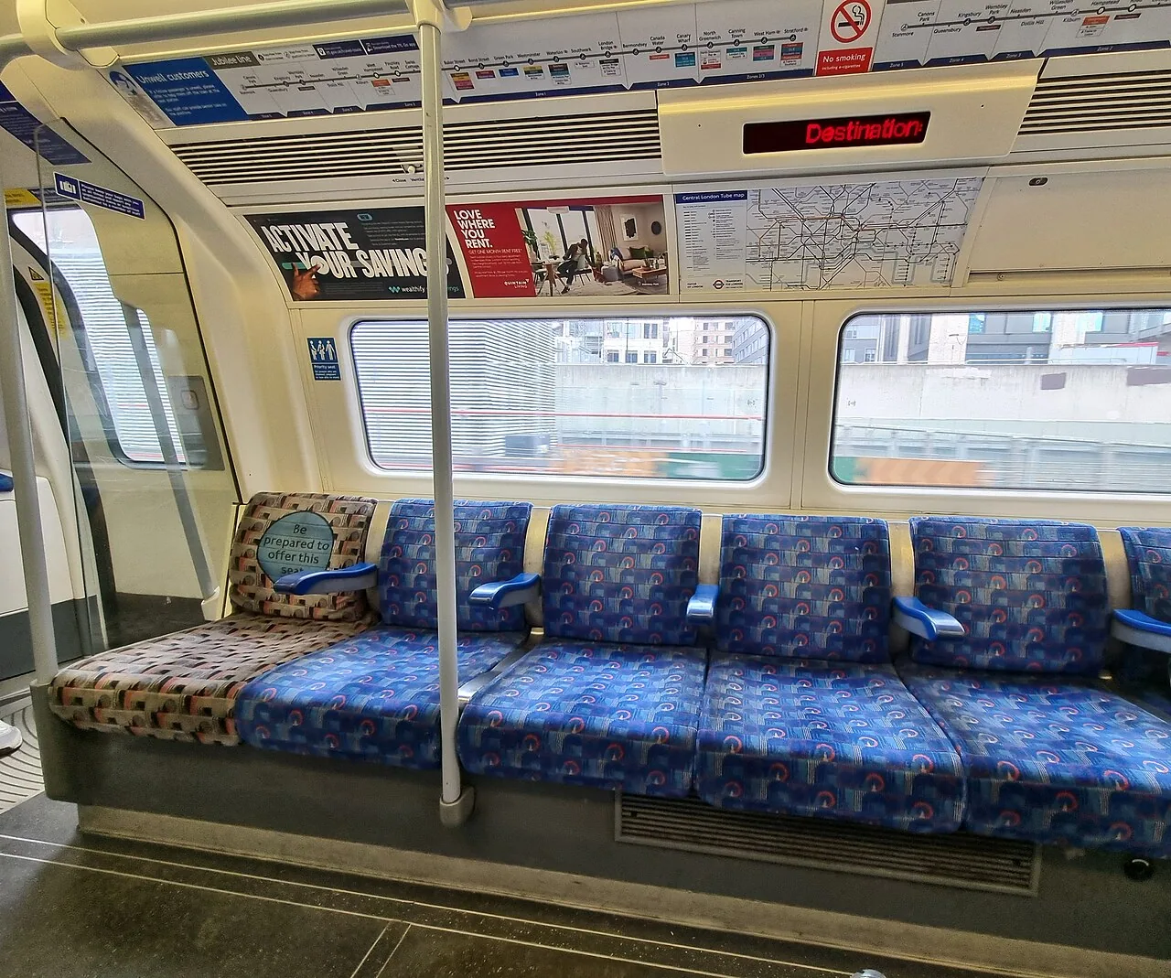
Walk when the route itself is part of what you came to experience. Use public transportation when the journey mainly connects you to the place you want to explore. Combining those two ideas usually produces a better city day than deciding to walk everywhere or ride between every stop.
The choice is not just a contest between map estimates. Street conditions, station access, weather, carrying bags, and the amount you have already walked can change the answer. This guide offers a practical way to choose for each part of your day, with enough flexibility to change your mind when a promising walk becomes a tiring transfer.
Decide whether the journey is an experience or a connection
A walk through a neighborhood you want to understand is part of the visit. A long approach beside an uninteresting road may simply use energy you would rather spend at the destination. Label each planned movement accordingly. You can walk an enjoyable section and use transit to skip a less useful stretch without losing the character of the day.
Start with the experience you want: looking at architecture, browsing small shops, reaching a timed exhibition, or getting back after dinner. The appropriate mode follows from that purpose. A leisurely neighborhood loop should not be judged by the same criteria as a connection to an event with a fixed start. Clarity about the purpose makes it easier to avoid unnecessary walking and unnecessary boarding alike.
Compare complete routes, including station access
A transit journey includes getting to the stop, finding the right platform, waiting, riding, and reaching the destination after alighting. For a short trip, those parts can outweigh the ride itself. For a longer trip, a direct service may preserve substantial energy even if the map's total time looks only moderately better than walking.
Use an official planner with the actual starting point and destination. TfL's accessible planner is an example of a tool that lets users adjust walking, interchange, and step-free preferences. Check the route detail rather than comparing two bold numbers at the top of a screen. A station with a long passage or several levels changes the experience, especially with luggage or when standing is uncomfortable.
Official references: TfL: plan an accessible journey with route preferences
Read the street map as well as the transport map
A route can be short on a map while crossing awkward roads, climbing a hill, or following a pedestrian path that closes at certain times. Examine the actual street connection and any relevant local access information. Rivers and rail corridors can turn a simple-looking straight line into a detour to the next usable crossing.
Look for a walking route that supports the day rather than merely following the shortest path. A parallel street with shops and places to pause may be preferable to a busy arterial road. Do not assume all paths shown by a mapping service are equally accessible or appropriate for every traveler. If pavement conditions, gradients, or access restrictions matter to you, verify them with the destination or the local authority where possible.
Budget energy across the whole day
Consider walking as a daily total, not a series of independent decisions. Several comfortable walks can add up to an uncomfortable return. Add the time spent standing inside museums, at a market, or in queues. The person who is happy with a morning walk may prefer a bus after an afternoon attraction, and that change does not make the itinerary unsuccessful.
Agree on an easy way to change plans. Identify a transit stop or pickup location near the end of a walking section, and keep enough flexibility to use it. A sensible strategy is to ride to the farthest part of a district and explore toward your base, provided the route is suitable. That arrangement can reduce the pressure of finishing an ambitious loop merely to get home.
Account for weather, bags, and the conditions you will meet
Check the forecast close to the day rather than choosing a mode from a city's general climate. Rain, high temperatures, wind, or early darkness can make a previously attractive walk less comfortable. Look at the waiting environment too: transit is not automatically a sheltered alternative if the stop is exposed and the service is infrequent.
Bags change the comparison. A short walk with a small day bag can become inconvenient with a suitcase, shopping, or a stroller. Consider where you can keep belongings during the day's main activity. If you choose transit, follow the operator's luggage instructions and keep circulation space clear. If you choose walking, leave enough room in the schedule to stop without turning every delay into a problem for the next reservation.
Work through a hypothetical city day
Imagine a morning museum in a central district, a market in another neighborhood, and an evening event near your accommodation. You could walk every connection, but the longest segment adds little to what you want to see. Instead, take transit to the museum, walk nearby streets afterward, then ride to the market and explore that area on foot.
After the market, reassess energy and weather before choosing the return. The useful decision is made at that moment, not locked into an itinerary drafted weeks earlier. This is an illustrative planning scenario, not a measured route in a particular city. Its lesson is to reserve walking for the places you want to notice and use the network to connect those places without exhausting the day.
Include fares without letting a pass dictate the day
A paid journey may be a sensible expense when it protects your time or comfort. Equally, a short pleasant walk can avoid an unnecessary boarding. Know the local fare structure so you understand the effect of one more ride. Some systems offer time-based transfers, some sell unlimited passes, and some cap eligible pay-as-you-go spending.
For example, MTS explains PRONTO's earned caps, while CTA offers time-based unlimited-ride passes. These products change the marginal cost of an extra eligible ride but do not make every possible journey a good use of your day. Do not board simply to get value from a pass. Decide whether the trip helps your itinerary, then apply the appropriate ticket rule.
Official references: MTS: PRONTO fare capping · CTA: unlimited-ride passes
Choose for the people traveling, not an average map user
Walking speed, comfortable standing time, sensory needs, and step-free requirements vary. A group should plan around the members who need the most consideration rather than assuming everyone can maintain one pace. Build sitting breaks and allow alternatives without making anyone justify them repeatedly. A pleasant city outing should not depend on reaching an arbitrary step count.
For transit, inspect accessibility across the whole journey. Sound Transit describes accessibility features by service type, and TfL distinguishes planning preferences such as step-free access. Use the relevant operator's current guidance and status updates. An accessible vehicle does not guarantee an uninterrupted accessible path through every station or street. If you need assistance, check how to request it before choosing a route that depends on it.
Official references: TfL: plan an accessible journey with route preferences · Sound Transit: accessibility by service type
Look for a mixed route before choosing an all-or-nothing option
The useful choice can be a short ride followed by a deliberate walk. If an enjoyable district is separated from your base by a long connecting stretch, use transit for that stretch and begin exploring where the streets become relevant to your interests. You can similarly walk part of a waterfront or neighborhood route and return from a different stop.
Check the end point of the walking section before you set off. A pleasant outward path can become inconvenient if it leaves you beyond the frequent part of the network. Save the return stop and confirm that it serves the direction you need at the appropriate time. This approach lets you enjoy a longer walk when conditions are good while keeping a clear exit when energy or weather changes. Flexibility works best when the alternative has already been identified.
Avoid false economies in both directions
Walking a long, uninteresting connection to save one fare can leave you too tired for the experience you came to enjoy. Riding between two nearby places can similarly consume time finding entrances and waiting when a useful street walk would connect them easily. Both mistakes come from treating one mode as the correct answer for every part of the trip.
Before leaving a place, check your next purpose, the route conditions, your group's energy, and the practical return. If the conditions support walking, enjoy the detail rather than racing the planner's estimate. If they favor transit, ride without feeling that you have missed the city. The most rewarding plan uses each mode for what it does well and leaves enough attention for the destination itself.
Frequently asked questions
How far is too far to walk between attractions?
There is no useful universal cutoff. Consider the surface, gradient, weather, what you are carrying, and the walking already included in the day. Compare the complete transit alternative, including waiting and station access, then choose for your own group's comfort.
Will I miss local experiences if I use public transport?
No. Transit can bring you to neighborhoods you would otherwise skip, and walking within them gives you time for detail. Choose a few deliberate walking areas rather than using all your energy on long connecting stretches that do not interest you.
Should I buy a pass if I mostly plan to walk?
Estimate your likely paid journeys and check the local payment rules before buying. An occasional ride or an appropriate pay-as-you-go option may fit better. Consider the value of a flexible return journey, but avoid buying a pass based on an unrealistically busy schedule.
Sources & further reading
- TfL: plan an accessible journey with route preferences ↗
- MTS: PRONTO fare capping ↗
- CTA: unlimited-ride passes ↗
- Sound Transit: accessibility by service type ↗
Source review: October 22, 2026. Opening arrangements, prices, access, and services can change; confirm current details with the responsible operator.
Editorial note
This guide is an editorial synthesis of referenced information and practical planning advice. It does not claim first-hand visits or live operator information. Hypothetical examples are identified in the text.
How we review content · Suggest a correction
Back to Getting Around